
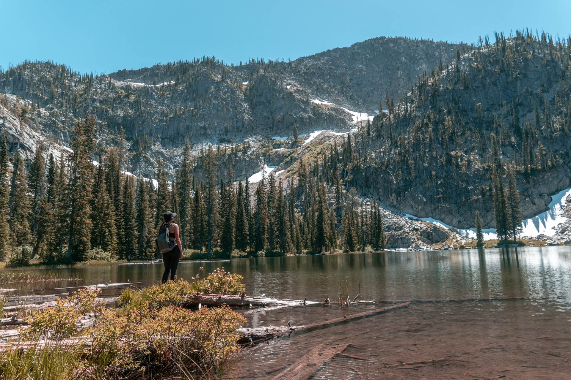
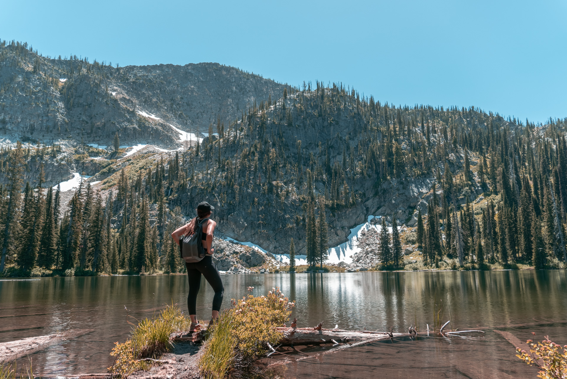
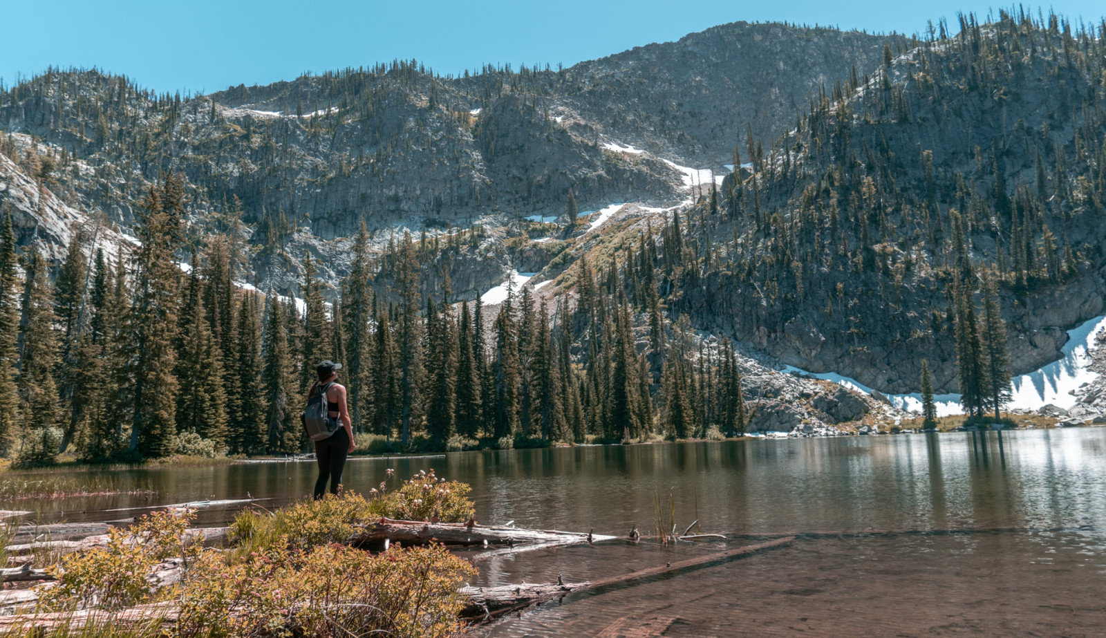
Snowslide Lake is a beautiful and accessible lake just a short drive, and a short (but steep) hike, from downtown McCall, Idaho.  To get there you take Snowslide trail (East Fork Lake Fork Trail #104) approximately 1.6 miles out and 1.6 miles back, making for a 3.2 mile round trip adventure.This short day hike does come at a price, however. A price of 1,300 ft of elevation gain. And an additional 0.7 miles each way and 700 ft of elevation gain on top of that if you want to reach snowslide summit, which is well worth the effort.
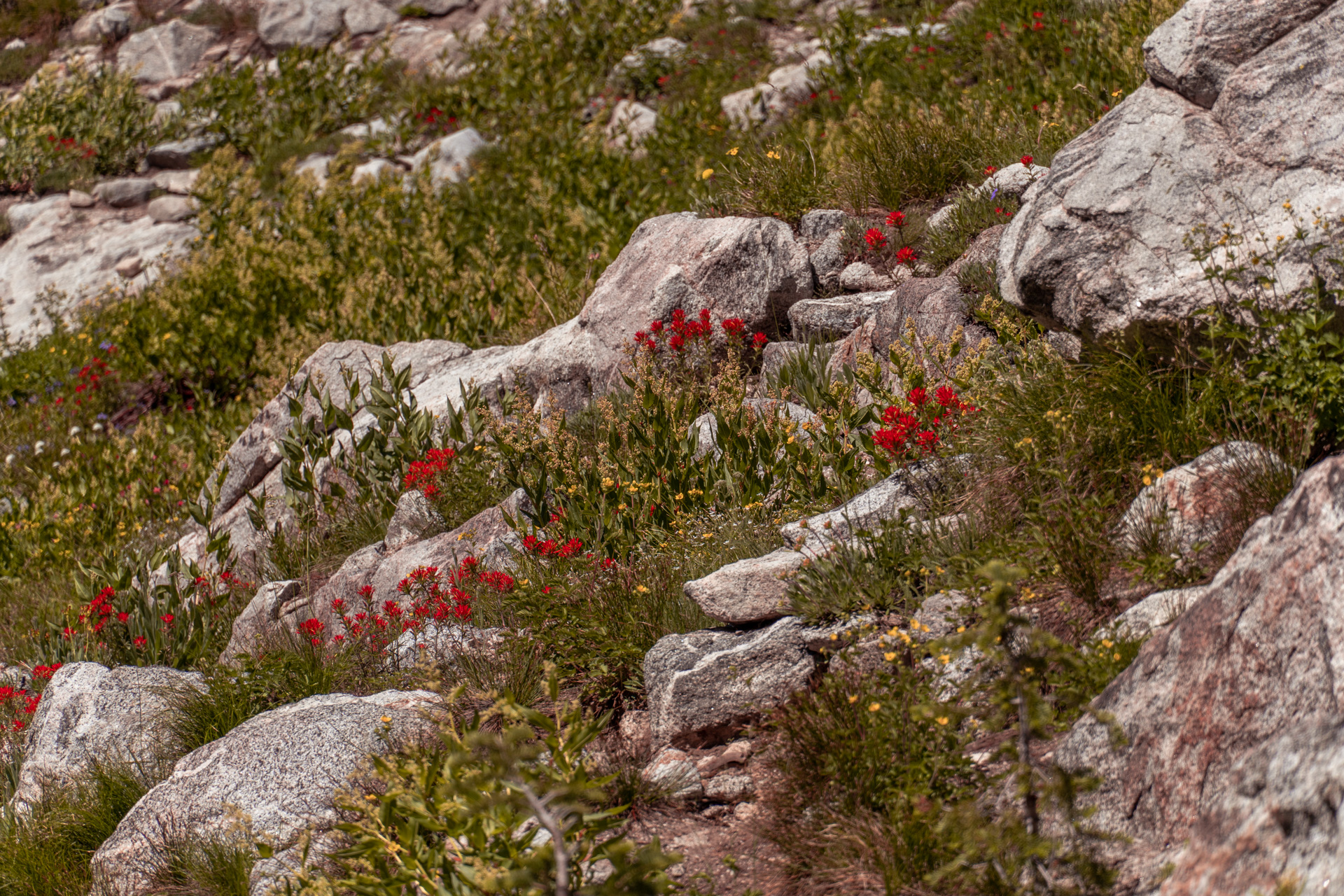
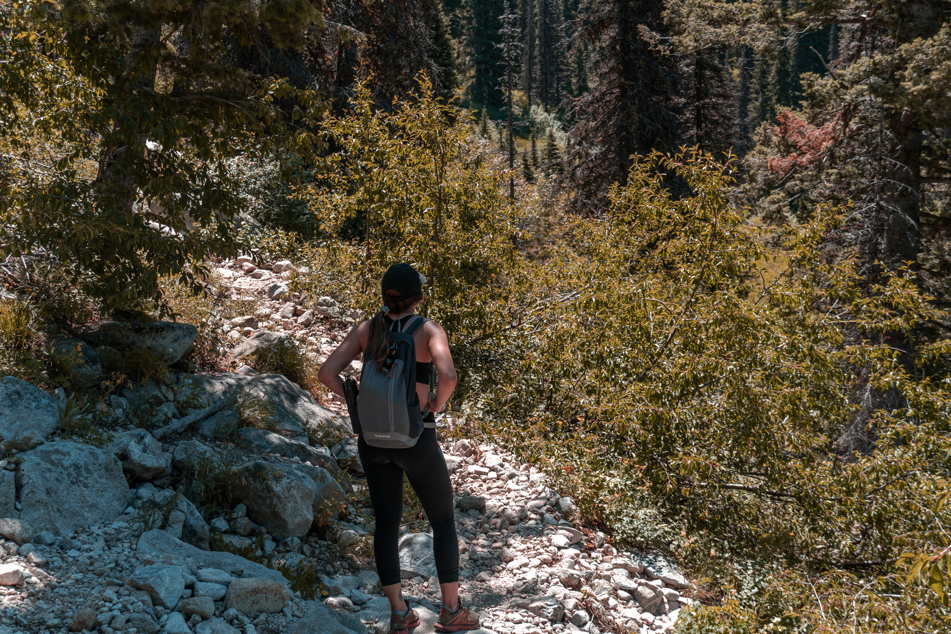
Snowslide trail is well defined and easy to follow but can be loose and rocky in places. Because of this I would recommend wearing close toed shoes at a minimum, preferably hiking shoes. The tread on Chacos or something similar are fine but you’ll likely be picking rocks out of your shoes frequently.
Strenuous
July through mid October
2-3 hours
5,900 to 7,900 feet.
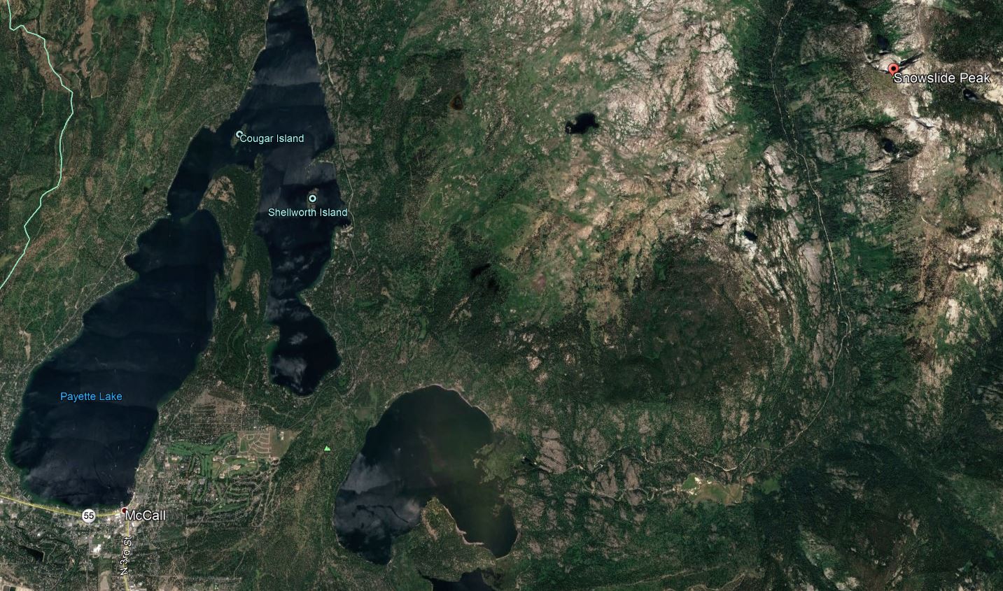
It takes about 50 -60 minutes to drive to the trailhead from downtown McCall. At the corner of Railroad Avenue and N 3rd St. in Downtown McCall proceed West on Railroad Ave for approximately 0.4 miles. Turn left onto Davis Ave and proceed for 0.8 miles and turn right onto Lick Creek Rd. Proceed for 14 miles (at about 3.2 miles the road forks, keep right) until you reach a small parking lot. There will be a sign that reads “East Fk. Lake Fork Tr.” on the right. Park in that parking lot on the right side of Lick Creek Rd.
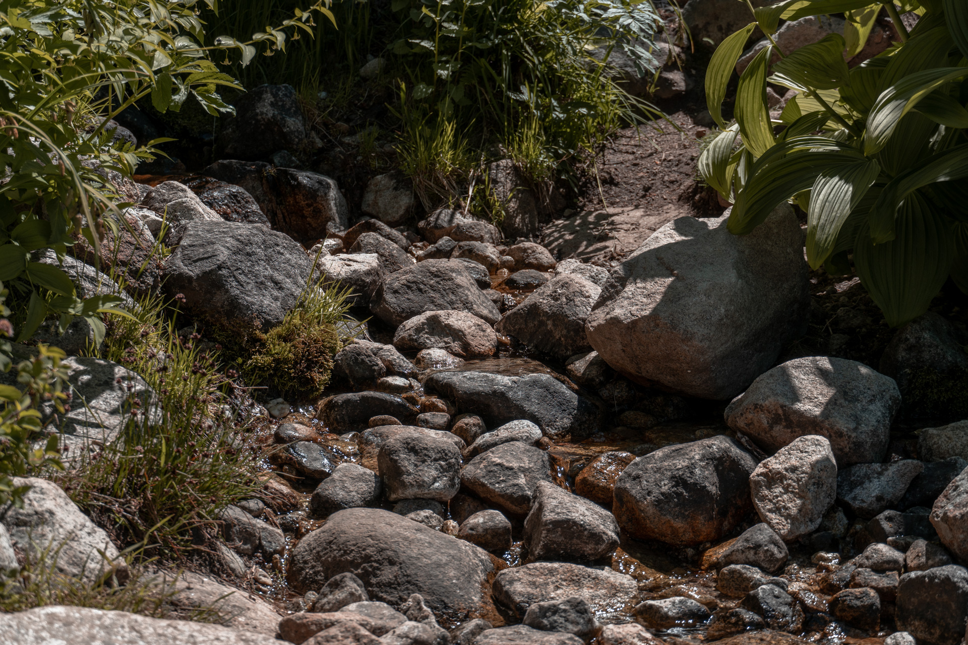
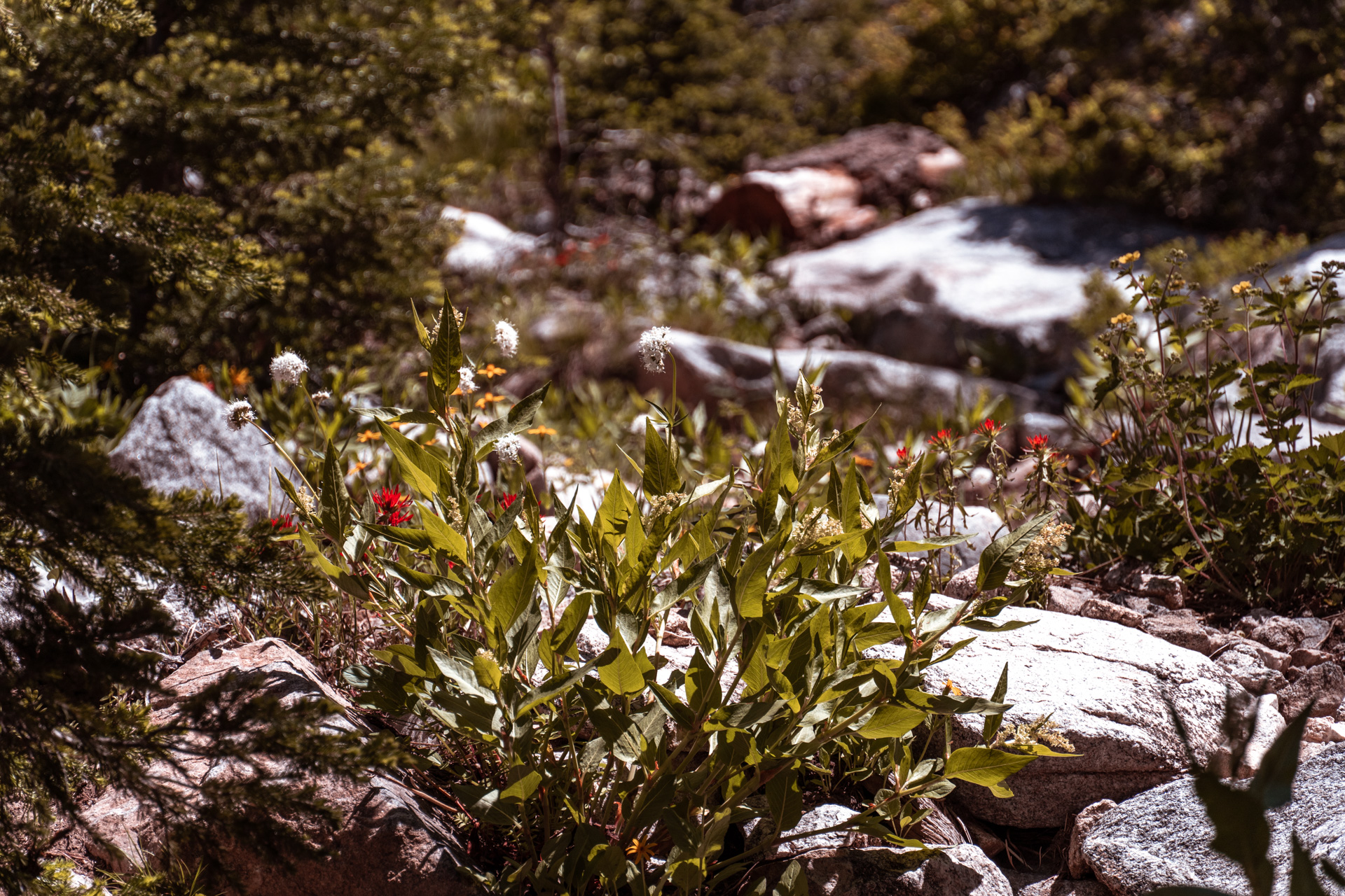
At the beginning of the trail there is an immediate creek crossing over the North Fork of Lake Fork Creek. It isn’t deep and there are typically rocks you can jump across to ford it without getting wet. In late spring the crossing can be slightly more dangerous as there is significantly more water flowing down the North  Fork of Lake Fork Creek. After you cross the creek the trail will take on a slight grade for a short distance and will then promptly get steeper for just about the rest of the hike. At about 0.9 miles there will be a couple small streams crossing the trail, from here you will start getting glimpses of Snowslide Peak. Ascend another 0.7 miles or so to reach Snowslide Lake. There are dispersed campsites to the east and north sides of the lake.
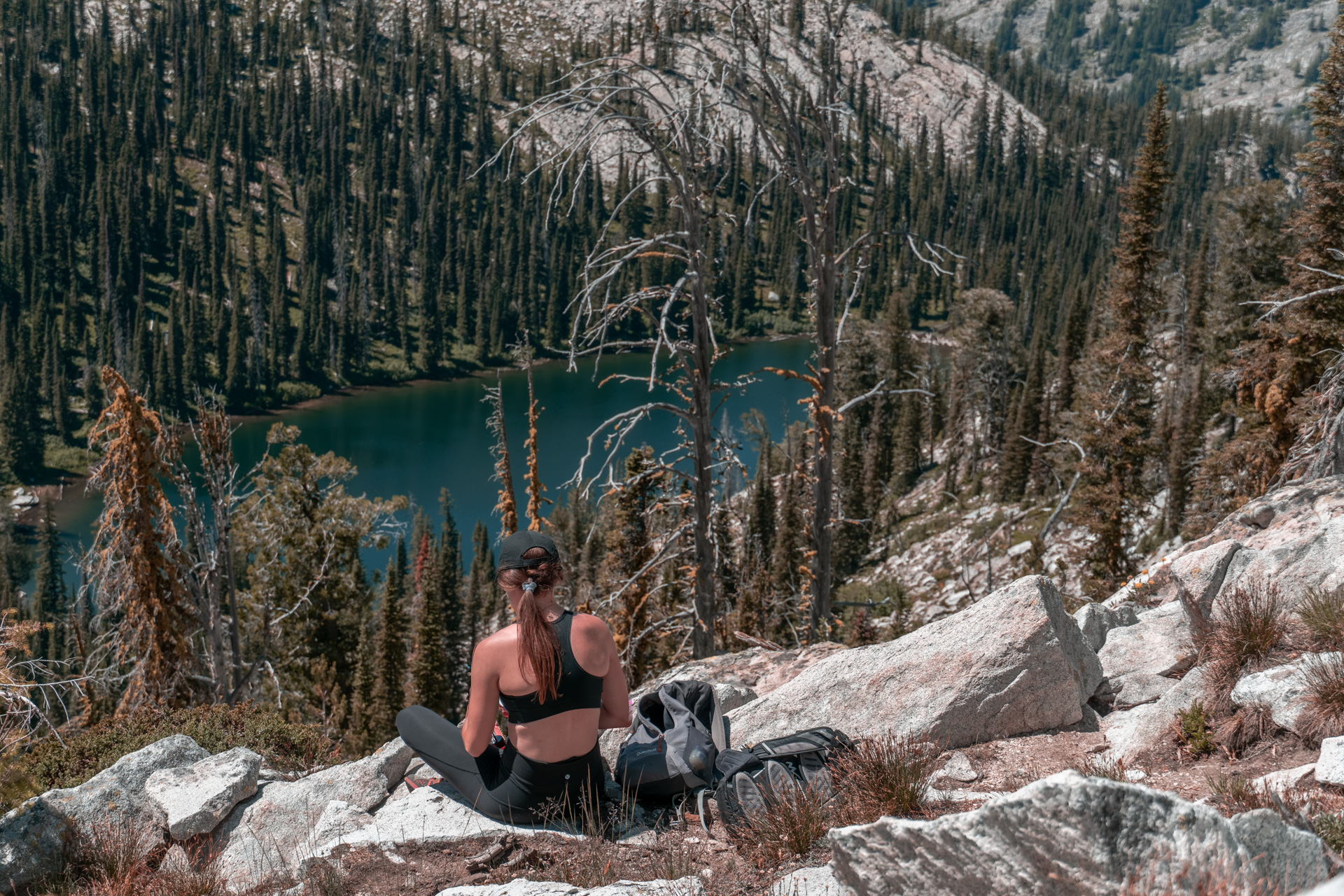
If you want to continue higher to get a beautiful view of the lake, proceed further around the east side of the lake (clockwise) and you will find a trail that continues up toward a saddle. Climb the steep switchbacks until you reach the top of the saddle. The trail will continue down the other side, at this point you can either turn around and proceed back the direction you came or you can extend the hike down to Maki Lake or further down on the loop to Lake Fork.
Here are a few more resources:
Written by evergreengems • July 30, 2019
Share Article: twitter Facebook
Backcountry Skiing
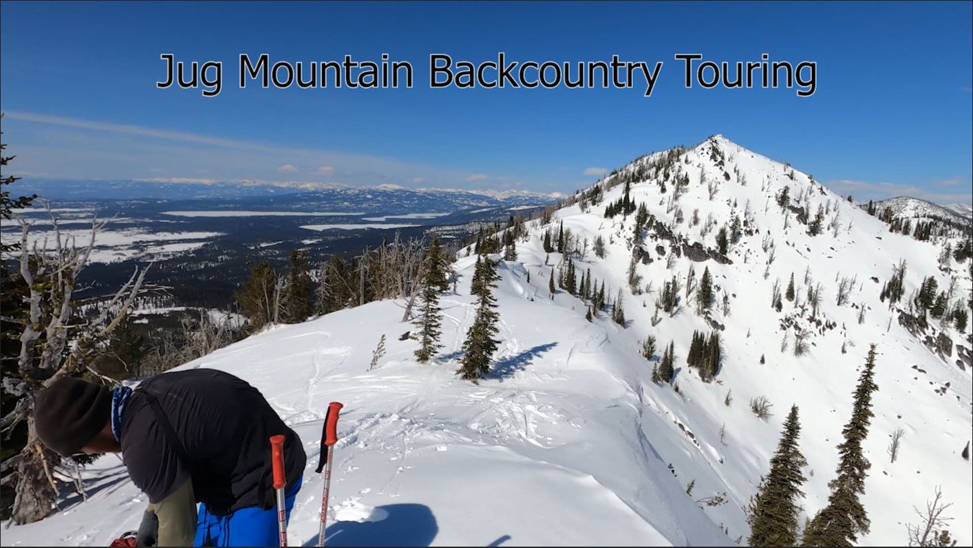
Jug Mountain Backcountry Touring -McCall, Idaho Overview Jug Mountain is one of the more iconic mountains around McCall. It is noticeable to the east as you’re driving from Lake Fork to McCall and rests above Louie lake which is one of the most popular hikes in the area. Jug mountain is a great hike in […]
McCall Hikes
Snowslide Lake Hike McCall Idaho Overview Snowslide Lake is a beautiful and accessible lake just a short drive, and a short (but steep) hike, from downtown McCall, Idaho. To get there you take Snowslide trail (East Fork Lake Fork Trail #104) approximately 1.6 miles out and 1.6 miles back, making for a 3.2 mile round trip adventure.This short day […]